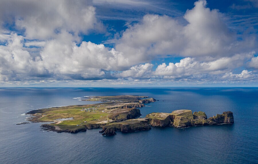
Toraigh (Tory Island)
Toraigh (phon. 'Torry') - Tory Island is located in the north Atlantic and lies almost 14 km off the northwest
coast of Co. Donegal.
The island is three miles (5km) long, at its widest point it is three-quarters of a mile (1km) broad.
A Discovery Point on the magnificent Wild Atlantic Way, Tory Island has been designated as a
Special Protected Area (SPA) by the National Parks & Wildlife Service
The most remote of Ireland’s inhabited offshore islands, Tory Island is part of the Co. Donegal Gaeltacht,
where the first language of the community is among the highest density of native Gaelic speakers in Ireland.
Settled for millennia, the island hinterland provides stunning cliff scenery along its high northern coastline.
The northern landscape provides shelter to the southern lowland areas where the island communities have settled
in West Town and East Town.
The island is flanked on the west by the Tory Lighthouse - built in 1832, and the natural and breath-taking
beauty of Tor Mór on the East.
Discover Tory Island...“The bewitching granite kaleidoscope...”
Kevin Connolly, BBC Ireland.

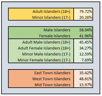
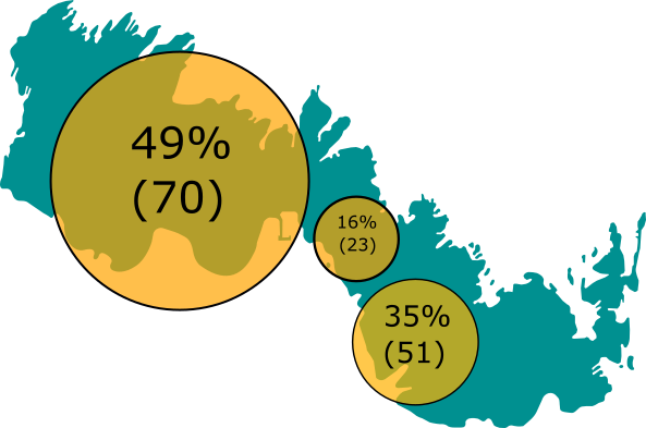
Population of Tory Island
In decline for the last couple of centuries, the population of Tory Island has decreased from a peak in the mid-nineteenth century of 400 residents, to a low point in 1991 of 119 souls. In the fated year of
1984, over 50 islanders had left Tory Island to settle permanently on the mainland - the 1981 census recorded a population of 208, five years later, the 1986 census recorded a population of 136 - the island was haemorrhaging people.
Since the 1991 low point, various developments have helped to stabilise and sustain the island's population figures. The new pier, the secondary schools, the hotel, the new health service
operation, and improved infrastructural utilities: roads, power, water, and transport services (ferry and helicopter) have contributed in supporting a more stable living environment on Tory Island.
The 2006 census recorded a figure 142 residents, however, today, the population of Tory Island is 145+ and although many difficulties remain, the foundation exists for an easier
and more sustainable lifestyle - at 2022, the demographic makeup of Tory is changing.
Tory Island Today
History of Tory Island
The 19th century discovery of a neolithic dolmen indicates that Tory Island has been inhabited by humans for around 2,500 years BC.
Stone lines and a bronze age cairn, along with other evidence give weight to bronze age activity/life and settlements from 2,000 BC – 500 BC. The promontory fort at Dun Balor indicates Iron Age
activity on the Island (2nd/3rd century BC). In 2018, a visiting team from Oslo University discovered evidence of second promontory fort on the island.
In the 6th century AD, St. Colmcille founded his monastery on Tory Island. The Tory Bell Tower was constructed on the site of the monestory in 6th-7th century, and the
island's Tau Cross is considered to date from the 12th century AD.
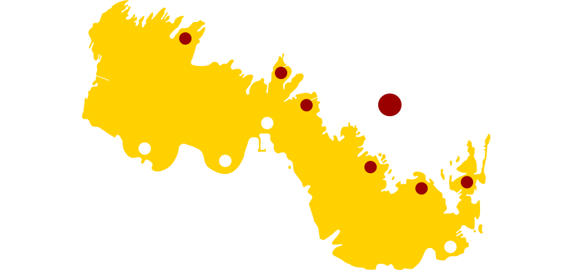
Tory Island Historic Points of Interest
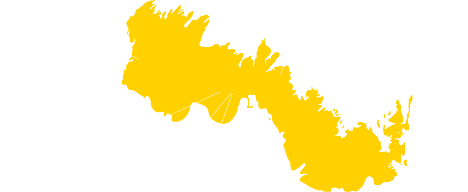
Geography of Tory Island
Tory Island (Toraigh) lies almost 14 km off the Northwest coast of Co. Donegal.
Tory Island is approximately five kilometres (three miles) long and 1 kilometre (5⁄8 mile) wide.
Tory Island area is 3.5816 sq km (1.3829 sq mi).
Tory Island lies in square B of the all-Ireland grid reference system at B853466
Tory Island highpoints: Tor Mór (83m), Morad (59m), Mearnaid (52m).
Tory Island is flanked on the West by Tory Lighthouse, and on the East by Tor Mór.
Tory Island is wedge-shaped, rising from sea level on the South to the high grounds on the northern cliffs.
Tory Island has a single main road which links the lighthouse (West) to Port a Dúin (East).
Tory Island has three harbours: West Town, Port a Dúin (East), and Poitín Ghlais (Northwest).